Scientists Map Antarctic Canyons to Better Predict Climate Impacts
Scientists Map Antarctic Canyons to Better Predict Climate Impacts
………………
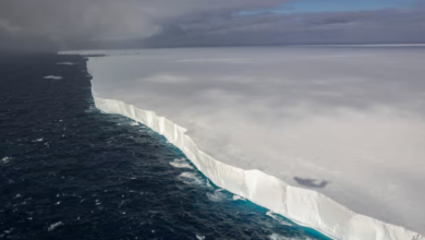
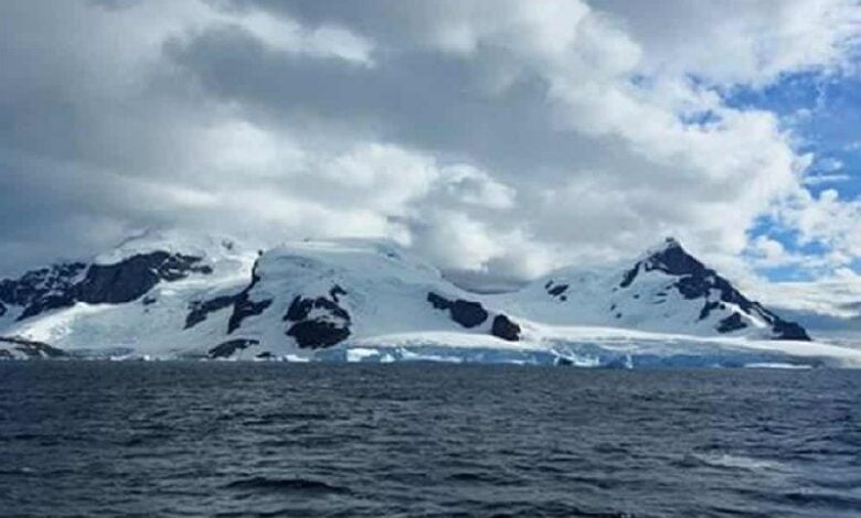
Researchers have mapped 332 submarine canyon networks around Antarctica to improve understanding of climate change effects, according to Marine Geology. Led by teams from the University of Barcelona and University College Cork, the study reveals that these deep-sea valleys—some plunging over 4,000 meters—may significantly influence ocean circulation, ice shelf thinning, and global sea levels.
The Antarctic canyons are larger and deeper than most due to glacial sediment flows and the prolonged effects of polar ice. Using data from the International Bathymetric Chart of the Southern Ocean, scientists produced five times more high-resolution canyon maps than previous efforts.
These canyons help transport sediments and nutrients, shape marine biodiversity, and channel warm ocean currents toward the continent, contributing to ice melt. Researchers emphasized the need for further high-resolution mapping to enhance climate models and better predict the long-term consequences of global warming, particularly in sensitive polar regions.